As mentioned yesterday I did a little photo exploring along the Spicket river in Methuen. I started at the dam and worked my way along the river walk that I didn't know was there. Then I went up around the block past the town's oldest fire station and into the town center before calling it a morning and going home.
Here are a bunch of pictures taken in wicked bright sunlight with a lens that was just dirty enough to distort the images a little. Nice!
The Spicket Falls Dam

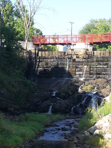
Based on a lot of these pictures I would guess that the water level is really low. I would like to see it when the dam is open.

The river heading away from the dam.
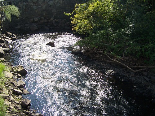
The Osgood Street bridge. I don't know if that's the official name of the bridge, I just know that that is Osgood Street.

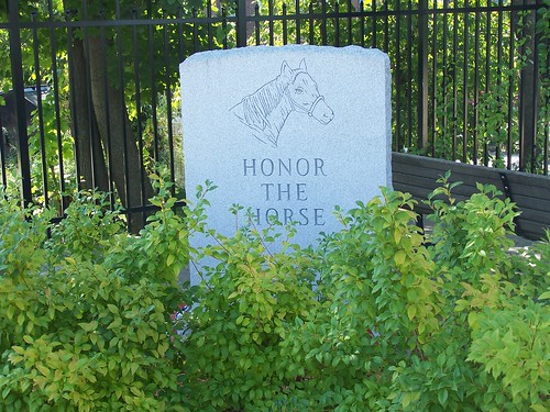
I like to take pictures of signs that will help me figure out what the hell the other pictures are.

Methuen wildlife: Pigeons.

I've driven past this a few times but never stopped to read it. Imagine my surprise when it was just the sort of thing I was hoping to see. A Riverwalk along the mighty Spicket.

Now we're on the other side of Osgood street.

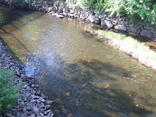
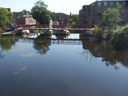
There is a footbridge across the river. The Riverwalk only went so far on this side of the water but it goes a little further on the other side.

There is a gazebo and everything. There was also a very small playground area.

Man that sun was wrecking havoc on my dirty camera lens. I should really look into learning a safe way to clean that thing.

Here is the dedication on the footbridge.

I would guess that the water level covers the rocks on the right when the dam is open.

Looking back at Osgood Street.
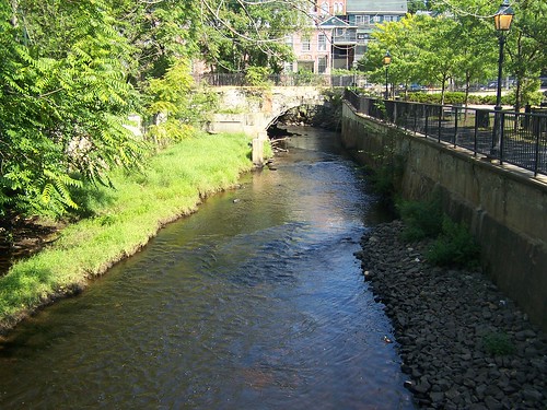
After crossing the river I continued along the path.
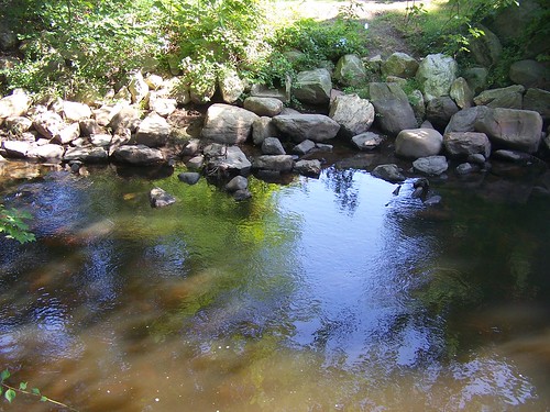

This is my favorite spot. Most of the path was raised quite a bit above the water's edge. At the end you could walk down right onto the rocks at the edge and wander around a little. There was also a turn in the river accompanied by what looked like an increase in the downhill grade. The current picked up quite a bit.

Click on this one, then click the all sizes button, then click original. That blows it up to full size. You can see the water bugs pretty clearly. More Methuen wildlife. Okay, so you can't see them that clearly, but you can see them.

Looking back at the start of the bend.

Don't ask me why, but I thought this tree was cool.
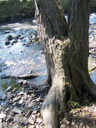
I like taking blurry pictures of light reflecting off water. If you don't like it, tough.


The stone wall is kind of cool too.

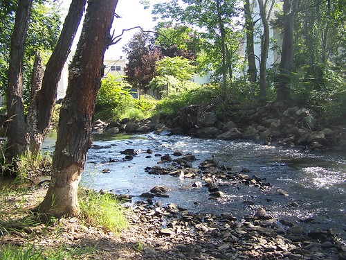
Leaving the water behind I thought I'd take a shot of the picnic area just in case a certain wife and step kid or two might have interest in a Sunday afternoon picnic at some point this fall. Just in case.
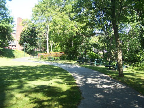
Looking back toward the bandstand.
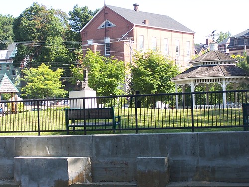
I kinda like this one.

I couldn't resist including an old mill building. I think this one is condos or apartments now.

This was taken from the road near the top of the dam. I couldn't find a walk way to get me to the foot bridge right over the dam. Maybe another day.
This was in the fire station parking lot.
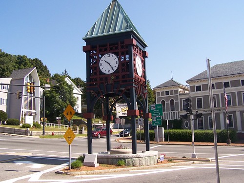
And we end this endless post with the clock downtown. The building across route 28 on the right is The John Hancock Masonic Lodge.
Most excellent photo essay. the entrance to the footbridge was just to the left side of the Mill Falls Apt entrance. I will be featuring your post on methuencommon.com. and adding you to te sidebar, i wish i could find more Methuen bloggers
ReplyDelete