That post contains two links. One is a wikipedia entry with a list of bridges on the National Register of Historic Places in Massachusetts. That page includes the coordinates of a bridge in Methuen that I had been looking for ever since reading the little book photographed at the top of the post.
Unfortunately the coordinates aren't correct, or at least they don't point to the right spot on either Google Maps or Bing Maps. They are pretty close, but not exact. The bridge I was looking for is no longer crossing the Spicket River, as the coordinates suggest, and it is on the other side of route 93.
While out Christmas shopping with the love of my life on Saturday we drove down Hampshire Road and I noticed a guard rail along what looked like a gully crossing, or a drainage pipe. I happened to look out the window and, boom, there was the stone bridge I'd been looking for. At least I thought it might have been. I only actually saw one arch, but it sure looked like a crumbly old stone bridge to me.
Later I redoubled my Internet research efforts and found this newspaper article. To quote the article:
The bridge is visible from the street, but the lot it's on is a hole in the wall — people who don't know the bridge is there can easily drive by without noticing it.
I did not know that it was viewable from the road, but I do know that I had driven by it a bunch of times without ever noticing it.
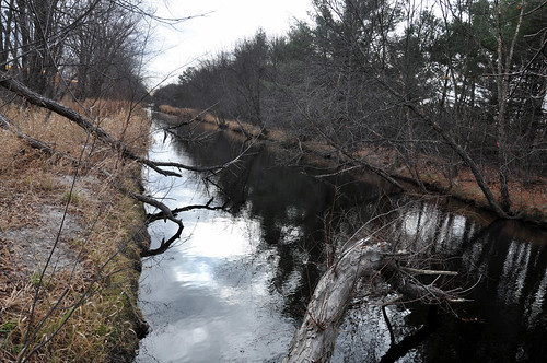
I had a bunch of errands to run on Sunday morning so I took my D90 with me and stopped at the bridge to take a few pictures. I also took the opportunity to take a few more pictures of the Spicket River, which used to run beneath the Sands bridge until it was diverted as part of the route 93 construction project.
Here are a few pictures.
This is the arch I saw from the car on Saturday.

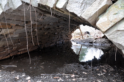
Why hadn't I seen the other arch from the road? Because a big chunk of it has collapsed.
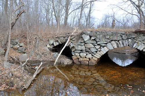
I braved the wilderness to get a look at the other side of the bridge. This side is in much better shape.
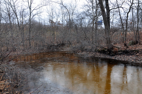
The Spicket used to flow here. Now it's just a puddle.
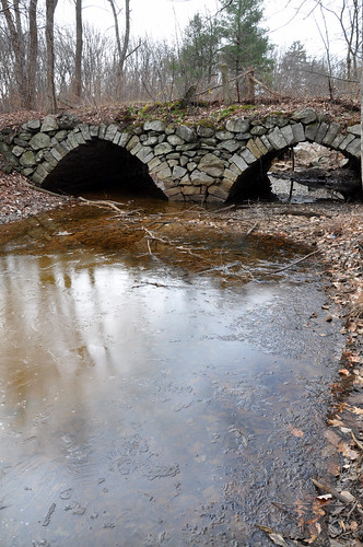
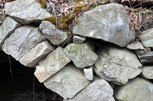
Look Ma, no mortar. Yes it's in pretty crappy shape, but it's been standing like this for 175 years. I somehow doubt the bridge that replaced it in 1959 (there's a picture further along) will still be standing after 175 years.
Here's a quick look underneath one of the arches.
In this shot, your humble narrator was walking across the bridge. It's still strong enough to hold my fat ass, but I made sure to walk quickly and not jump up and down or anything.
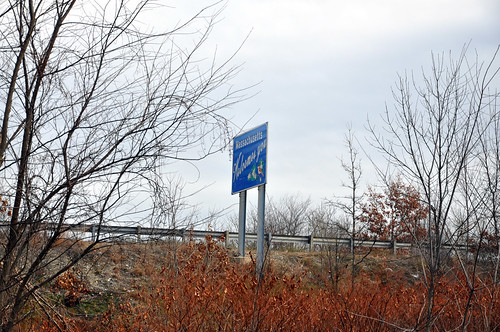
Here is a landmark to help you find the bridge for yourself.
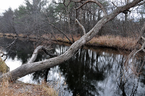
After a short hop down the street I took a picture of the Spicket River, where she stands today.
This tree sort of fascinated me a little. Okay, I'm weird.
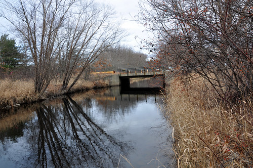
Here is the new Hampshire Road bridge. While driving away I saw that it has the date 1959 on it. We'll see how this one looks in the year 2134.
No comments:
Post a Comment